
Lubbock County Neighbors by Block
Public sources answer different questions about the block around a Lubbock County address. City GIS supplies spatial context, such as parcels, street centerlines, directions, subdivisions, ZIP codes, city limits, and neighborhood-association layers. LCAD supplies an appraisal owner display and situs clue. A County Clerk recording is the route for a deed, legal description, or recorded transfer. Voter products can provide only lawful, protected-field-limited status or data access. None of these sources is a private household roster, and an owner record is not the same as proof of occupancy.
| Block source | What it shows near an address | Access and limit |
|---|---|---|
| City Parcel Viewer | Parcel geometry, streets, directional context, nearby map layers | Public spatial reference; live popup and radius mechanics were not documented |
| Lubbock Central Appraisal District | Owner display, situs, Property ID or CAD ID, value and exemption clues | Public appraisal search, not title or occupancy proof |
| County Clerk EagleWeb | Deed parties, recording event, legal description, linked filings | Portal plus courthouse and certified-copy route; coverage cutoff not located |
| City neighborhood layer | Association name, subdivision, city-limit, ZIP, and civic map context | Association label is not a legal boundary or member list |
| VoteTexas and county elections | Lawful registration and precinct data paths | Protected fields, affidavits, fees, and request rules apply |
Use the result as a public location summary. It is safer and more accurate to record a parcel identifier, a map layer, and an official civic link than to build a list of private residents from mixed databases.
Lubbock County Neighbor Block Context
The City of Lubbock GIS services provide the map-first part of a neighbor search. The documented layers include Address, Street Name, School, Building Footprint, Lake, Parcel, Street Centerlines, Street Address Direction, County Centerlines, Subdivision Name, Platted Subdivision, Parks, Flood Zone, City Limit, ZIP Code, and Lubbock County. Community services add Neighborhood Associations and map services add Council Districts. These layers can show what is near a location and help explain a boundary or annexation question without asserting a legal property conclusion.
The City GIS web-app directory is the official entry point for the map tools.
Use the current map layer date and then verify a property fact with LCAD or the Clerk. The text-accessible research did not expose live autocomplete, radius controls, result counts, parcel-click fields, or select and measure tools, so do not assume a particular map interaction is available.
Mapping a Lubbock County Neighbor Block
Begin with one complete address in the City parcel viewer. Inspect its parcel polygon, street centerline, street-address direction, subdivision, neighborhood association, ZIP, city limit, and nearby parcels. Then compare the address to LCAD and the County Clerk. The City’s Official City Street Names and Block Ranges resource adds civic block context, especially where an older street or block label needs normalizing. A map can locate the relationship between parcels, but it cannot establish a resident’s identity or a current occupancy claim.
Process flow: address → City GIS parcel and street layers → nearby parcel context → LCAD Property ID or CAD ID → EagleWeb legal-description or recorded-filing check → official civic link when one exists.
- Locate the address in the City GIS service and note the displayed parcel, street direction, ZIP, subdivision, and city-limit context.
- Review adjacent parcel shapes as map context, without treating a nearby result as a private household list.
- Search LCAD by the address, Property ID, CAD ID, owner, or legal-description clue and preserve the exact situs string and date viewed.
- Use EagleWeb for the legal description, grantor or grantee, reception number, date, or related document when a recorded-property question remains.
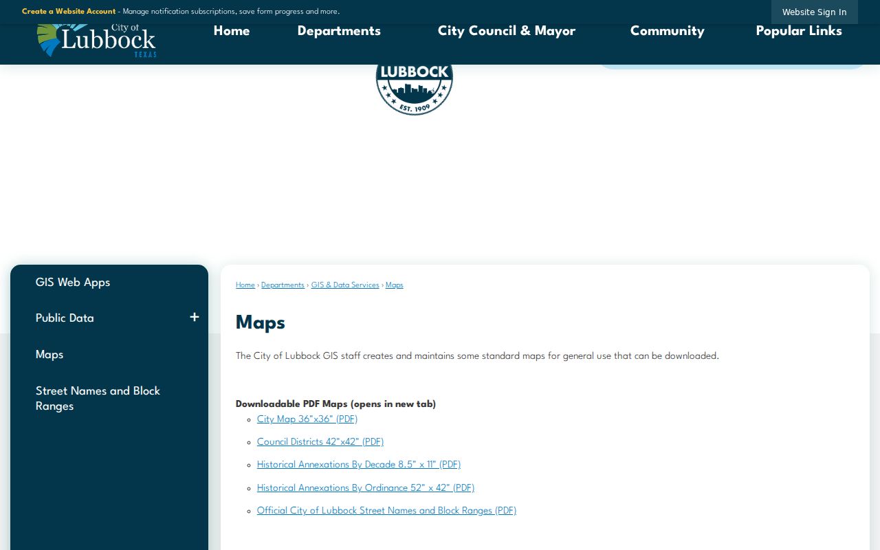
The City maps collection supplies official street-name, block-range, and historical-annexation resources.
For a full named-street record chain rather than an immediate block view, use the Lubbock County street directory. Older street-renumbering dates and a complete old-to-new address crosswalk were not located in the official text, so use the applicable City map or ordinance for an address-specific conversion.
Lubbock County Neighbor Name Clues
Neighborhood names are useful map labels, not personal records. The City community feature service has a Neighborhood Associations layer with a NAME field and advanced query capability. Visible labels include Arnett Benson, Ballenger, Bayless-Atkins, Clayton Carter, Coronado Area, Dunbar-Manhattan Heights, Guadalupe, Harwell, Heart of Lubbock, Jackson-Mahon, Kings Park, Maedgen Area or MANA, Maxey Park, North By Northwest, Slaton-Bean, South Lubbock, South Overton, Southgate, Tech Terrace-U.N.I.T., University Pines, Waters, West End, and Westchester.
Planning maps may use a different label for the same general area. Examples in the research include Baylees-Atkins and Bayless-Atkins, Tech Terrace and Tech Terrace-U.N.I.T., Wester, Wheelock and Monterey, and North Overton. A planning label provides civic history and search vocabulary. It does not create a confirmed association boundary, prove membership, or identify every neighbor.
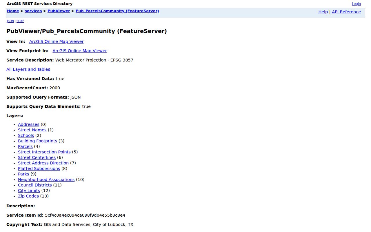
The City community-parcel feature service is the source for the mapped association context.
When labels conflict, retain both names and identify the source that used each one. The inspected services did not provide a complete association directory, current contact person, dues, meeting schedule, or membership roster.
Lubbock County Neighbor Civic Leads
Civic organizations add community context after the parcel and map check. The City boards information names Neighborhood Associations, Lubbock United Neighborhood Association, Community Development, Building, and Planning as local channels. The Texas HOA management-certificate search is a second, state-filed source. It filters by HOA name, county, city, and ZIP, but a filing is not proof that each nearby property participates or that any individual is a member.
City neighborhood layer
Use the City GIS association name and polygon as civic map context. It is not a substitute for an official boundary ordinance or a resident list.
Lubbock United Neighborhood Association
The City identifies L.U.N.A. as an umbrella civic channel. Public member directories and joining rules were not located in the inspected sources.
Texas HOA certificate search
Search management certificates by name, county, city, or ZIP as an association cross-check, not a roster.
The state search returned examples such as French Quarter, Milwaukee Ridge, Terra Vista, La Colonia, Renaissance Park, Whisperwood, Orchard Park, Viridian, and Allen Farms for the Lubbock County query. Those results may help test an association name, but they do not establish that every block or owner is associated with the filing.
Note: Use official association and City channels for public civic information, and do not ask a private organization to disclose a resident list.
Lubbock County Neighbor Sources Compared
Official and commercial categories produce different kinds of information. The useful official record has an identified custodian, a stated access rule, and a way to check an error. Commercial neighbor tools commonly combine public filings, marketing data, address histories, and purchased datasets. They can be stale, misattributed, incomplete, or costly. A map, appraisal card, recording, or voter request must still be read within its own limits, even when a commercial result happens to resemble it.
| Official local sources | Commercial neighbor-tool category |
|---|---|
| City GIS shows map context, layers, and civic labels, with source ownership and layer limits. | May combine location and person data from mixed sources with unclear update dates. |
| LCAD and EagleWeb distinguish appraisal or recording evidence and provide custodian follow-up paths. | May blur owner, mailing, historical, and other data into one result. |
| VoteTexas and county products have statutory limits, confidential fields, and request rules. | May not explain what information is restricted or how a record was matched. |
For a wrong government display, contact the agency that owns the record and ask about its amendment, correction, redaction, nondisclosure, or appeal route. A map result should be logged with its source and date, not treated as a permanent neighborhood fact.
Lubbock County Neighbor Voter Boundaries
Texas voter information has a narrower role in a block search. SOS guidance says a voter’s name, date of birth, and voter unique identifier have different public treatment, while Social Security, driver-license, and personal-identification numbers are confidential. Phone numbers may not be transcribed. A voter may suppress web display, and eligible protected people can use the Address Confidentiality Program. A substitute mailing address is not a physical residence and must never be reverse-engineered.
A current registration match is a status snapshot. It does not prove that a person lives at a nearby property or voted in a particular election. The exact live VoteTexas query fields and county precinct output were not captured, so do not promise a name-by-address feature. Lubbock County’s voter-data products distinguish countywide, precinct, entity, district-specific, and election-history requests; request the precise product that fits a lawful need rather than inferring a block list from a public search.
Lubbock County Neighbor Privacy Limits
Some information about a block should remain outside a public neighbor lookup. Private household information, utilities, delivery information, protected addresses, sealed material, and private organization membership are not an open block directory. An appraisal exemption can be a clue about owner occupancy, but it is not conclusive. An EagleWeb filing records a transaction or related document, not a reliable statement of every current occupant. GIS is spatial reference, not a certified boundary or legal description.
Texas confidentiality rules also protect certain voter and address information for eligible people. Keep protected identifiers and physical locations out of public copy. When a result appears to be wrong, go to the record custodian rather than publishing an accusation or relying on a third-party listing. The Texas Attorney General consumer-protection office offers official identity-theft and consumer-fraud guidance.
Lawful use. Use Lubbock County neighbor records for personal, lawful block and civic research. Never use public information to watch, stalk, harass, intimidate, or harm anyone.